Have a great Delaware River Story? Share it with us here!

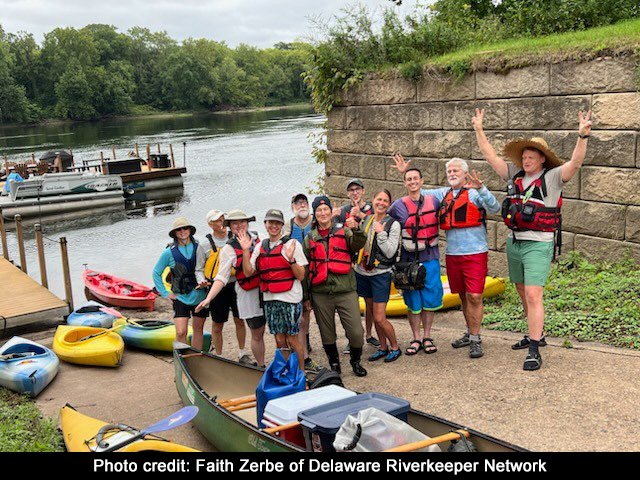
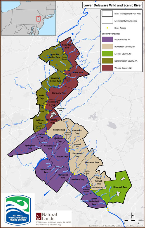
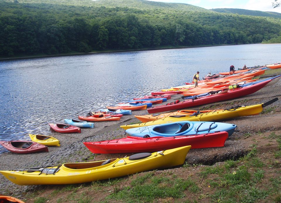
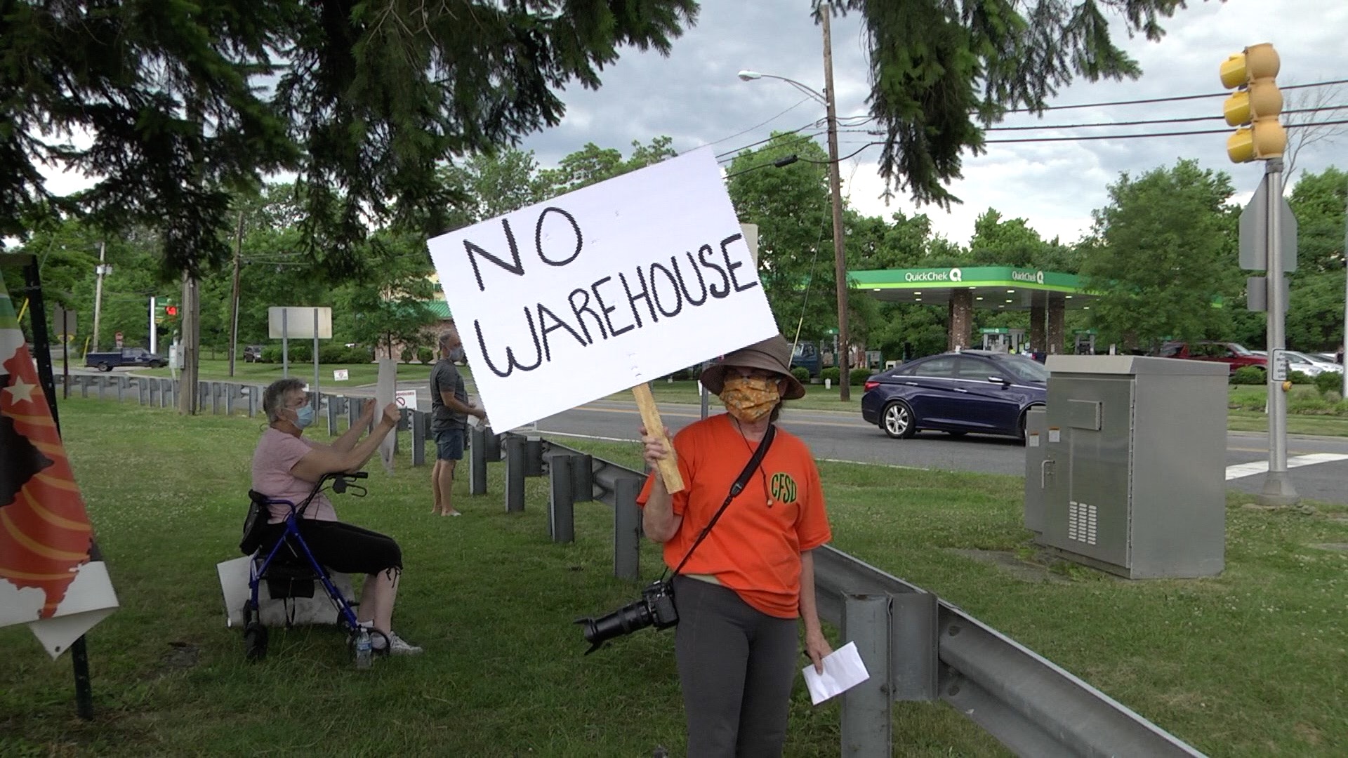
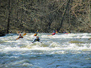
Township Committee Votes to Include Local Waterways in River Preservation Plan. We have started a Wild and Scenic Rivers study to designate additional tributaries. This is a three-year study by the National Park Service (NPS) to consider whether additional Delaware River tributaries are eligible and suitable for inclusion in the National Wild and Scenic River System. The LDWS Management Council and its governing body have a Cooperative Agreement with the Delaware River Greenway Partnership to coordinate the Study Committee that includes members from watershed towns, state agencies, and other non-profit organizations. The Study Committee will identify the special values of noted tributaries. The plan is to submit a bill by 2024 or 2025 that will add the tributaries to the Lower Delaware River Wild and Scenic Rivers System Funding up to $5,000 Eligible PA or NJ Groups Invited to Apply 2022 Key Dates Requirements Rules for water and wastewater also approved By a vote of 4-0, with the federal government abstaining, the Delaware River Basin Commission (DRBC) Dec. 8 approved a final rule prohibiting the discharge of wastewater from high volume hydraulic fracturing (HVHF) to water or land in the Delaware River Basin and clarifying the circumstances in which water, including wastewater, may be exported from or imported into the basin. The action is reflected in Commission Resolution No. 2022 – 04 which prohibits the discharge of wastewater from HVHF to land or water throughout the basin to control future pollution, protect public health and preserve the waters of the Basin. Resolution No. 2022 – 04 also strengthens DRBC policies concerning the exportation and importation of water, including wastewater, into and from the Basin and provides greater detail for implementing them. The sprawl of warehouses across the region is a growing serious issue, with each new development threatening to convert hundreds and hundreds of acres of pristine farmland and open space into giant warehousing complexes, transforming the landscape in the process and introducing a variety of problems including stormwater management and truck traffic. Read more and take action here... More area warehouse news and resources: The Lower Delaware recently submitted these comment letters: Delaware River Greenway Partnership has joined forces with NJ Clean Communities programs in Hunterdon and Mercer County and the NJ Park Service to help tackle the litter along the shore of our Wild and Scenic Delaware River. We hope you can join us in our efforts. This year we are hosting cleanups at over 17 public river accesses from Holland Township in Hunterdon County to Hamilton Township in Mercer County. Seventy-five years ago, the Delaware River was choked with sewage and industrial pollution. The Lower Delaware was designated in 2000 as a Wild and Scenic River Additionally some of the tributaries in the Lower Delaware were also designated including Tinicum Creek, (headwaters of two upper branches to the Delaware River confluence), Tohickon Creek, (downstream of Lake Nockamixon to the Delaware River confluence), and Paunacussing Creek, (portions passing through Solebury Township to the Delaware River). The Musconetcong River, (3.5 mile stretch from Saxton Falls to Route 46 and the 20.7 mile stretch from King’s Highway Bridget to railroad tunnels at Musconetcong Gorge), was designated in 2006. Read more about about the Lower Delaware's Wild and Scenic Designation..... Care About PA's Tohickon Creek? Checkout water monitoring by the Lehigh River Stocking Association, dedicated to the continuous improvement of this waterway and its tributaries. Their objectives are to ensure clean water, public access, and an abundant trout fishery for everyone to enjoy. Educate yourself on what the Wild & Scenic Designation means and hear from leading experts in the region including Lower Delaware’s NPS Liaison, Sarah Bursky. Video courtesy of the Coalition for the Delaware River Watershed. (Runs 1.5 hours.) On Saturday, June 11, Tinicum Township hosted a free rain barrel workshop at Tinicum Community Park. Keep Pennsylvania Beautiful, with funding from the Department of Environmental Protection’s Coastal Resources Management, is announcing their new Waterway Steward Program. The program’s purpose is to engage Pennsylvania water trail users in community science and build long term stewardship of our water trails while providing valuable data to tell the story about litter in and along our waterways. “Being a waterway steward is easy. Any time you are recreating in or near water, collect litter and stream health data. When you’re finished, dispose of the litter properly and report your data to us. You choose where you want to clean. It can be a different waterway each time,” said Shannon Reiter, President of Keep Pennsylvania Beautiful. We must act now to keep the waters of the Highlands great. Adopt the municipal resolution here. See the Municipal Action Guide here. Learn more about the Great Waters New Jersey Partnership here. Water levels on the Delaware are constantly changing. The USGS provides online tools to monitor the flow of the Delaware River and its tributaries, helping us to safely enjoy our river. NJDOT repairs and studies of the safety and integrity of Route 80 in the Delaware Water Gap area continue. An engineering study will take a look at the retaining wall issues that were discovered by crews making repairs to a nearby section of the wall that had been scoured or eroded by water coming down from Mount Tammany. The mountain is located on the New Jersey side of the Delaware Water Gap and is maintained by the NJDOT. Read more below: Trout Unlimited worked with Musconetcong Watershed Association and several partners to improve Water Quality in West Portal Creek. The cows had an effect on the brook and changes were made to improve the water quality. Rockface To Radically Change, Plans Unveiled by NJDOT: The Hunterdon Land Trust teamed up with Holland Township and Hunterdon County to preserve a 70-acre tract off Riegelsville-Milford Road near Dogwood Drive. The Council commissioned a river use capacity study in 2020. Risa Shimoda, consultant, presented these slides at the March 2021 meeting of the Council. The National Park Service/Wild & Scenic Rivers Newsletter featured the Wild & Scenic Lower Delaware in the November issue. 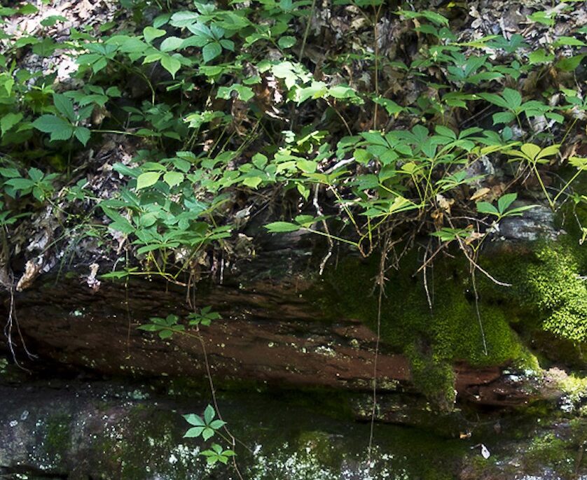
![]()
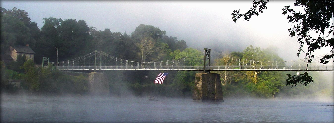
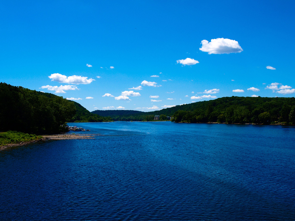
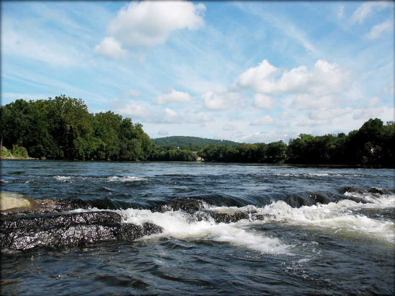
Thanks to a combination of federal and state safeguards and local innovation, the Delaware is a river reborn – and a model for other river restoration efforts across the country!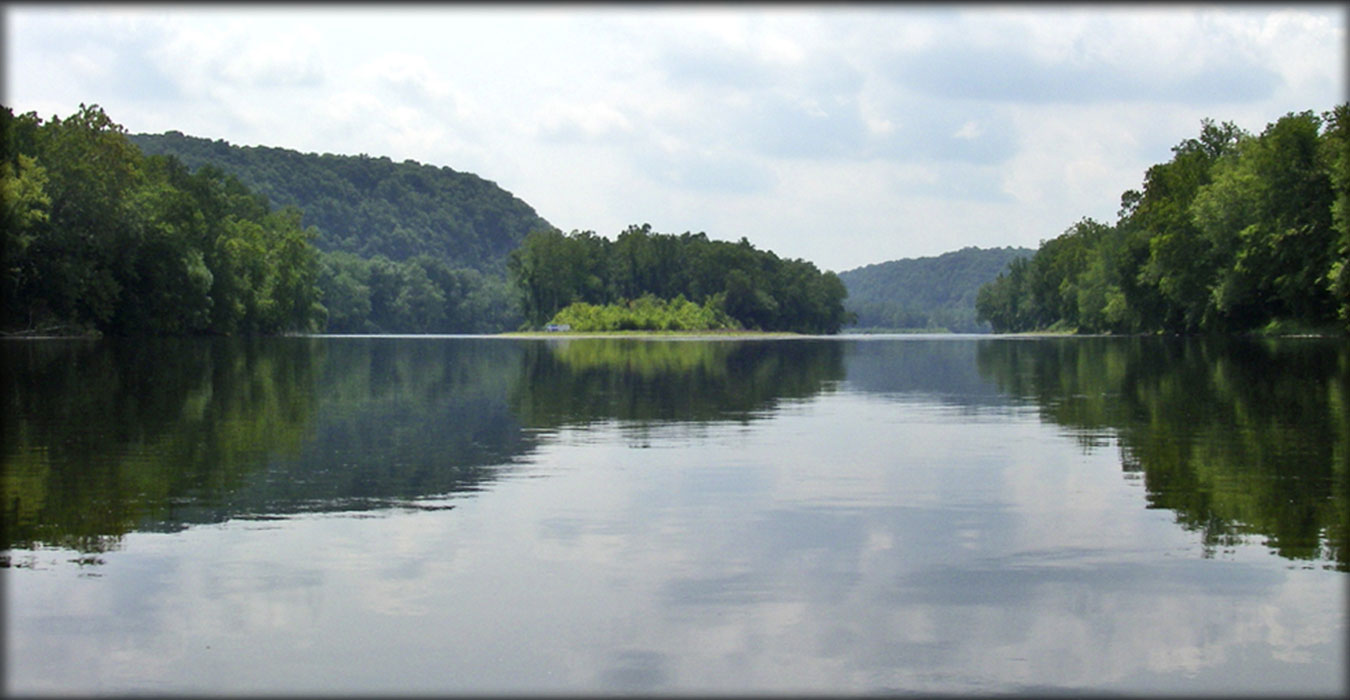
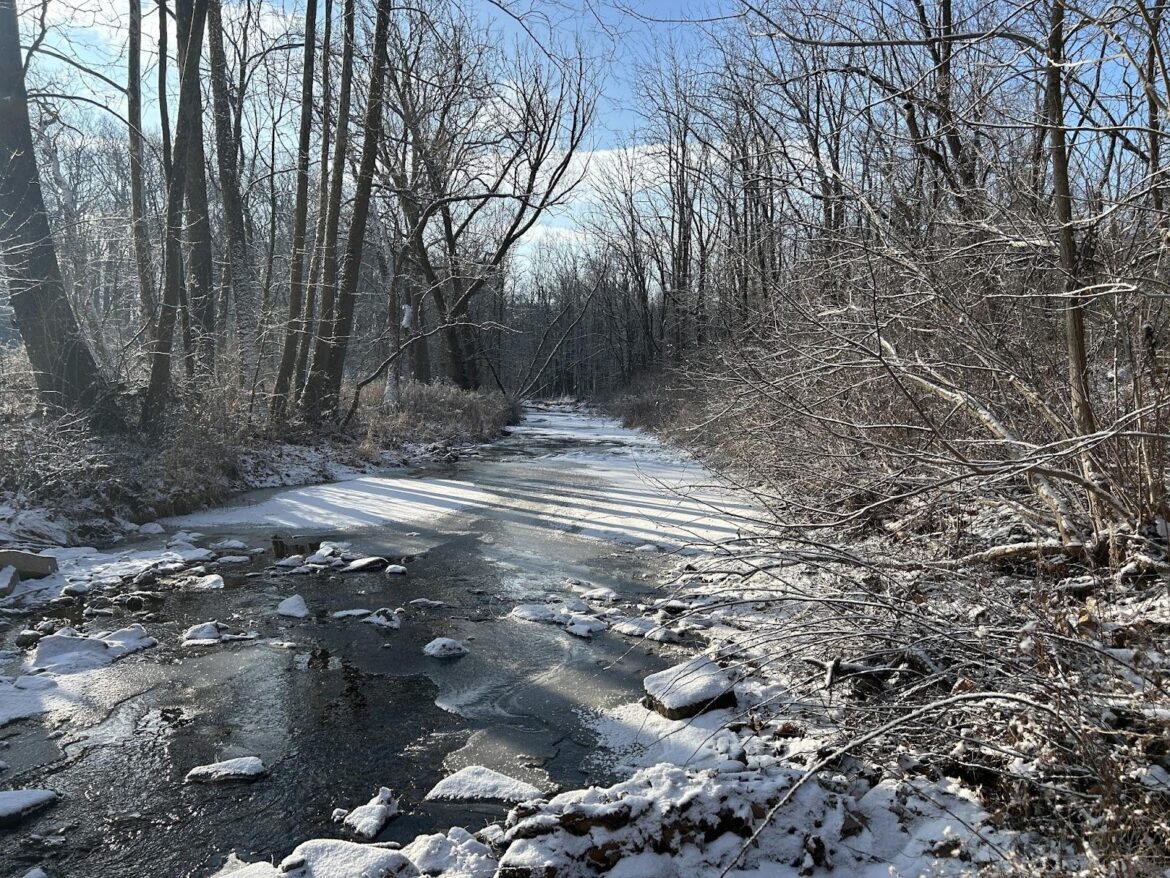
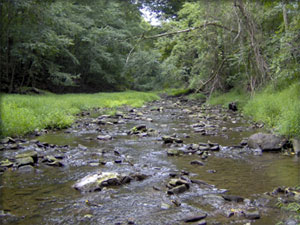
We continue to track a potential downgrade of the Tohickon Creek’s water quality and fully support redesignating the waterway as Exceptional Value Waters (EV). Longtime Wild & Scenic Steering Committee Member Val Sigstedt wrote, “It is wrong, arbitrary, sudden, and with no scientific reason, to lower the Tohickon’s purity designation.” The Lower Tohickon Creek below Lake Nockamixon is a stream enjoyed by kayakers, anglers, and people who love the outdoors. The clean water in this stretch provided important habitat for wildlife. Many organizations, including the Lower Delaware, are calling for Pennsylvania officials to release more water into the stream to help improve conditions. Learn more about the issue by watching this LDWS 2021 mini-grant funded video. ![]()
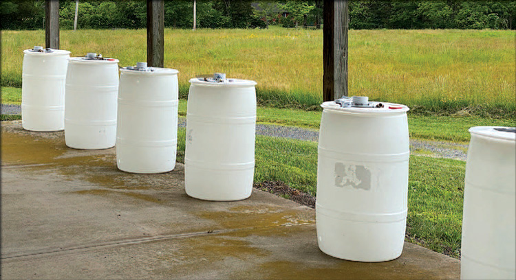
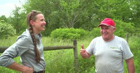
Eleanor Breslin, Tinicum Township’s new supervisor, coordinated the event with assistance from the recently reestablished Environmental Advisory Council (EAC). As supervisor, Breslin brought back the EAC and expressed a desire to increase community participation in conservation efforts. She viewed the workshop as a chance for residents to participate in conservation by saving stormwater and preventing it from picking up pollutants that contaminate local aquifers. 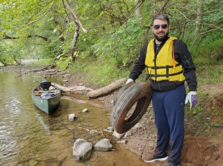
Join thousands of New Jersey residents and local leaders just like you who cherish the natural legacy of the Highlands. Tell our chief water caretaker, the New Jersey Department of Environmental Protection that they need to recognize the true recreational value of our waters, helping our towns and boroughs go the extra mile to save our way of life for generations to come.
Please sign the petition for residents/individuals here.![]()
Learn more here...
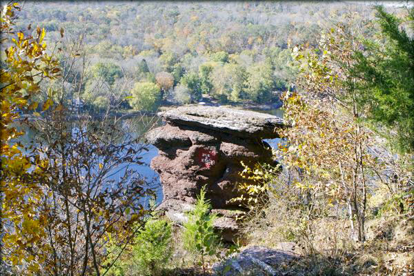
Aesthetics are expected to change at Devil’s Tea Table in Hunterdon County, NJ as a result of NJDOT plans for rockfall mitigation to improve Rt. 29 roadway safety in Kingwood Twp.
Articles in the newsletter focused on: